
The PNG Mapping Bureau will now produce the latest maps upgrading its current maps from ten years ago. This is key part for security preparations for APEC 2018, as it allows them real time imaging in Port Moresby and parts of central.
But come after APEC, Sir Charles said it can be used for censuses and policy development.
Assistant Director of the national mapping bureau, Veroleen Bobola says with the new equipment has enabled the Bureau to collect new and essential data, which has enhanced their capability.
Meanwhile PNG Defence Force Chief of Operation Colonel Siale Diro said the Mapping system provides them the ability to plan ahead for security during APEC 2018.
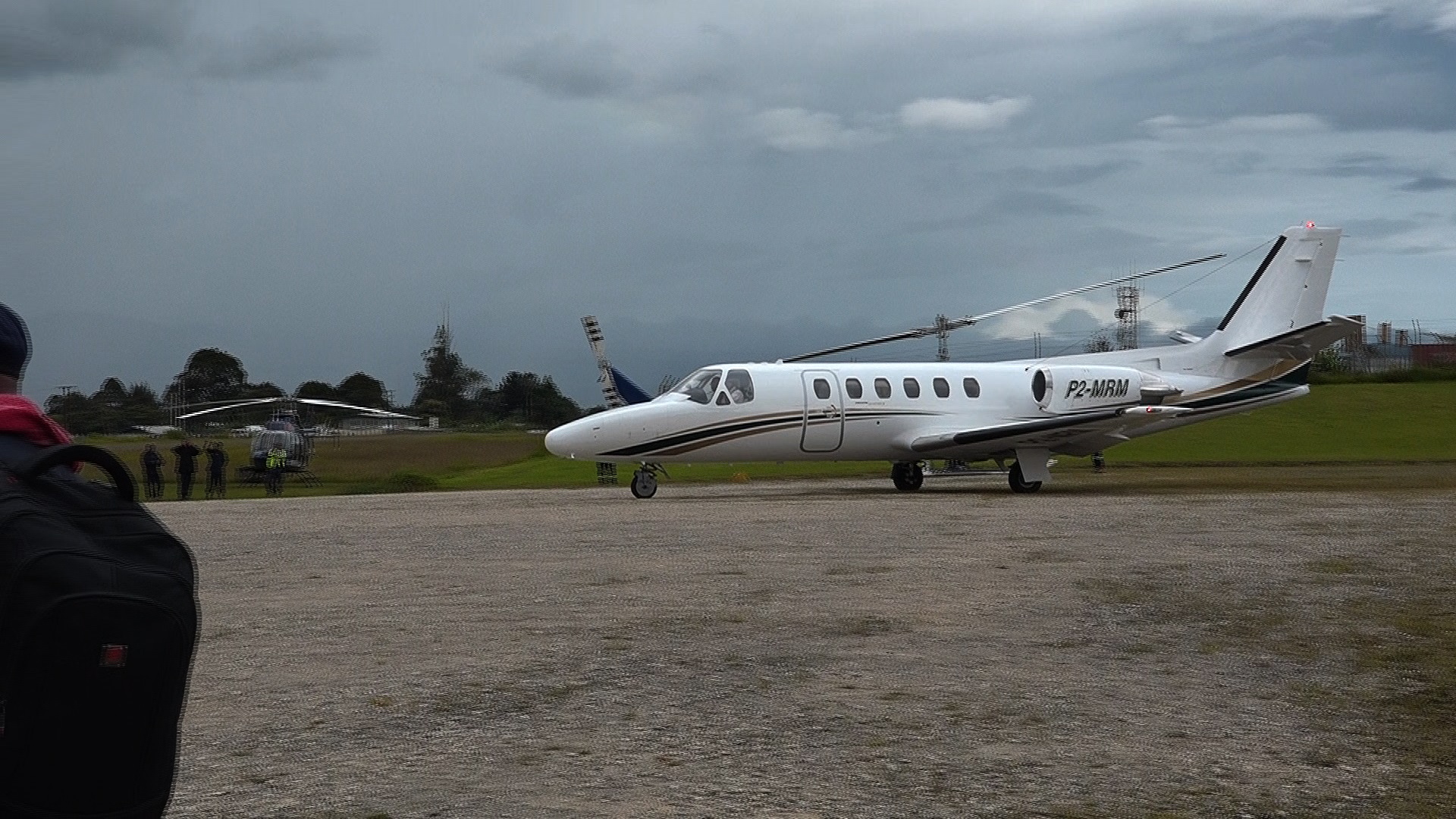
The National Mapping Bureau with the assistance of the Australian Defence force and Royal Australian Air Force recently concluded a four-day mapping exercise using the state of the art mapping and surveying equipment.
They successfully mapped the entire city of Port Moresby and parts of Central province. The exercise comes under the special mapping project specifically for APEC preparations.